Skip to content
WorldNerve
All Sample Reports

Claims · Interactive Sample

Claims Ground Movement Evidence Review

A before-and-after chronology that separates what the satellite record contributes from the questions other evidence must determine.

Built for claims investigators, loss adjusters, forensic engineers, and legal teams.

8 pages · PDF · 0.6 MBReal measurements · Illustrative reference date
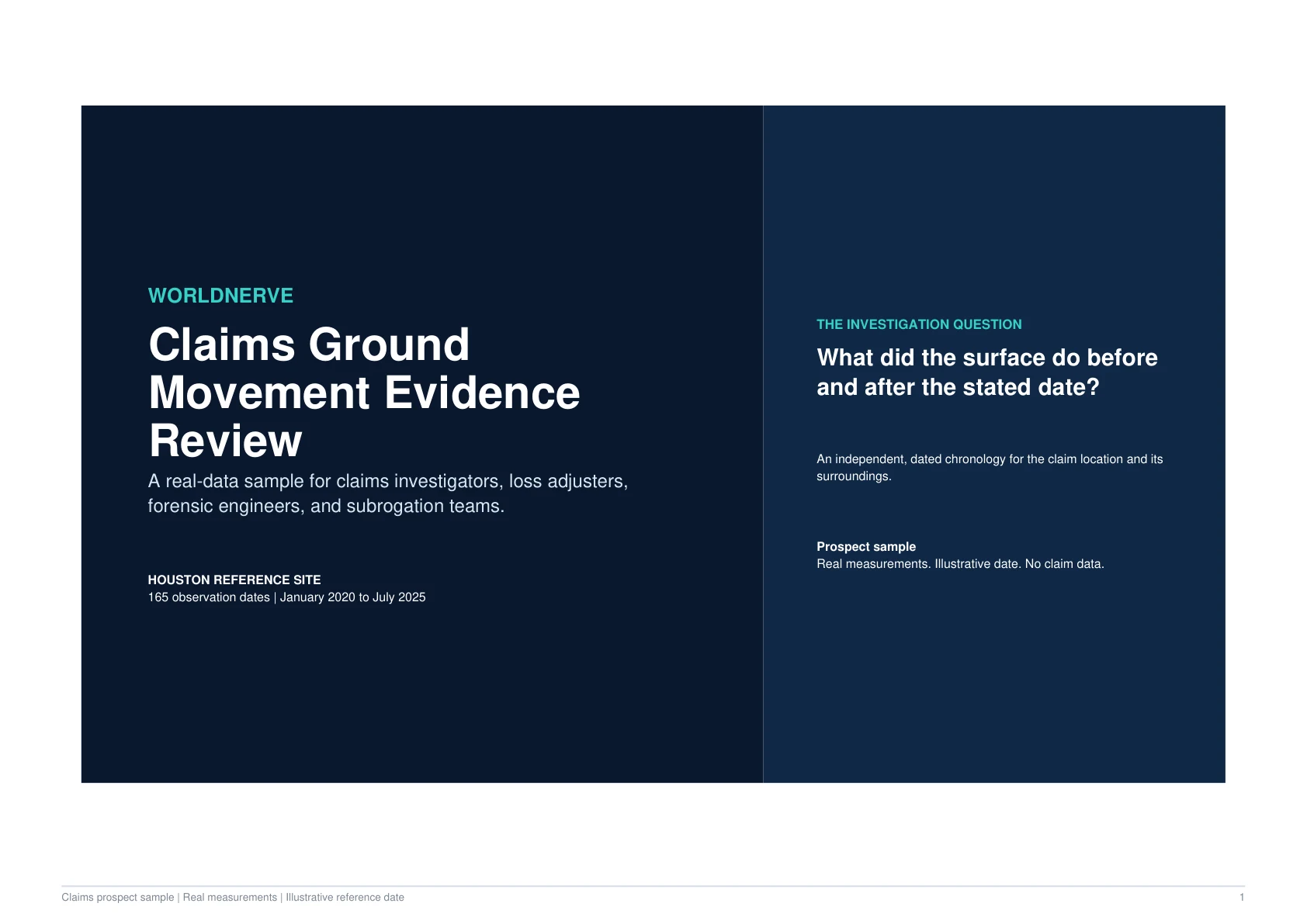
Cover of the WorldNerve Claims Ground Movement Evidence Review sample
Full evidence pack available as a PDF download

Decision Question

What does the satellite record show before and after an illustrative claim reference date?

Sample Finding

Measurable movement is present before the reference date and continues afterward in the sample chronology.

The chronology can inform an investigation, but it does not determine damage, causation, policy response, or liability.

59
Dates Before

Before 1 January 2022

106
Dates After

After the reference date

-2.4
mm/Year Before

Local-contrast trend

-1.6
mm/Year After

Local-contrast trend

Interactive Evidence View

Before-and-After Chronology

The comparison keeps the reference date explicit and separates observation from legal or engineering conclusions.

Before Reference Date59 observation dates
-2.4 mm/year
After Reference Date106 observation dates
-1.6 mm/year
Comparison unit: mm/year local-contrast trend

This code-native view highlights selected report findings. Download the PDF for the complete maps, time series, methodology, confidence notes, and evidence tables.

Inside the Report

Follow the Evidence From Question to Action

The online experience explains the decision logic in a scannable format. The downloadable report preserves the full technical evidence record.

01

A Dated Evidence Chronology

The report divides the available archive around an illustrative reference date so investigators can see what was measurable in each period.

  • The reference date is visible throughout the interpretation.
  • Observation counts show the depth of evidence on each side.
  • Before-and-after trends are reported on the same basis.
02

What the Record Contributes

Satellite evidence contributes a repeat, dated view of surface movement that can be compared with inspection, repair, weather, construction, and claim records.

  • It can test whether movement was measurable before a reported event.
  • It can show whether a measured pattern continued afterward.
  • It provides spatial context beyond a single inspection point.
03

What Other Evidence Must Decide

The report clearly separates the movement record from conclusions that require engineering, geotechnical, contractual, or legal assessment.

  • Damage and defect condition require appropriate inspection.
  • Causation needs the full factual and technical record.
  • Coverage and liability remain outside the satellite analysis.

Responsible Interpretation

What This Evidence Does Not Decide

The report is designed to make its boundaries as visible as its findings.

  • The illustrative reference date is not a finding about a real claim event.
  • Movement evidence alone does not prove damage or its timing.
  • The analysis does not determine cause, coverage, liability, or quantum.
  • The record should be interpreted with inspections and the complete claim chronology.

Next Steps

Turn the Finding Into a Proportionate Workflow

  1. 1

    Align the satellite chronology with dated claim and property records.

  2. 2

    Ask the appointed experts whether the measured pattern is relevant to their hypotheses.

  3. 3

    Commission focused analysis only around the questions the combined evidence leaves open.

Start a conversation

See What the Satellite Archive Can Support for Your Location

Start with an address, coordinate, boundary, corridor, or location list. WorldNerve will review feasibility before proposing a larger scope.