Skip to content
WorldNerve

Reports

Six report types, one honest starting point

Every engagement begins with a data availability review, so the scope you pay for is a scope the satellite record can support.

Preliminary Data Availability Review

A first review of whether suitable radar data and measurement conditions may be available for your site or portfolio.

Ideal for: Anyone unsure whether satellite analysis can work for their location — the standard, low-risk first step.

Inputs required: Location (address or coordinates), asset type, question of interest, time period.

Typical analysis: Archive search across relevant missions, review of expected measurement density and surface suitability, feasibility judgement.

Turnaround: Typical turnaround confirmed after data review.

Typical deliverables

  • Summary of available archives and periods
  • Expected measurement conditions
  • Honest feasibility statement
  • Recommended analysis scope, if feasible
Request a Data Review

Single Property Ground Movement Report

Focused analysis for one property or site.

Ideal for: Underwriters, owners, buyers, lenders, and engineers with a question about a specific asset.

Inputs required: Property location, period of interest, context (e.g. reported cracking, transaction, renewal).

Typical analysis: Multi-temporal InSAR over the property and a surrounding reference zone; asset-level interpretation of rates, trends, and anomalies.

Turnaround: Typical turnaround confirmed after data review.

Typical deliverables

  • Site location and context maps
  • Mean velocity map
  • Displacement time series
  • Surrounding-area comparison
  • Interpretation and confidence notes
  • Limitations and recommended next steps
Submit a Property

Commercial Site Assessment

For industrial, logistics, retail, office, or development sites.

Ideal for: Investors, developers, occupiers, and their consultants assessing larger or more complex commercial sites.

Inputs required: Site boundary or address, asset plans if available, development or transaction context.

Typical analysis: Site-wide movement mapping with per-structure indicators where density allows; attention to differential movement across the footprint.

Turnaround: Typical turnaround confirmed after data review.

Typical deliverables

  • Site-wide velocity mapping
  • Per-building/zone movement indicators
  • Differential movement analysis
  • Time series for key structures
  • Committee-ready summary + technical appendix
Discuss a Commercial Site

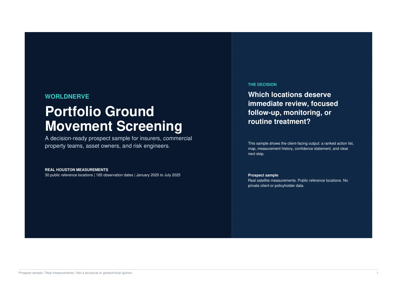
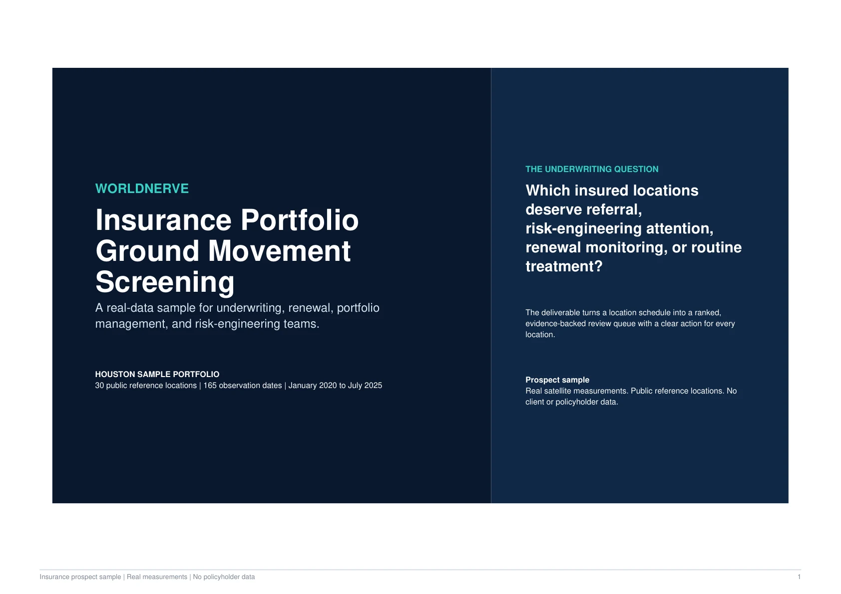
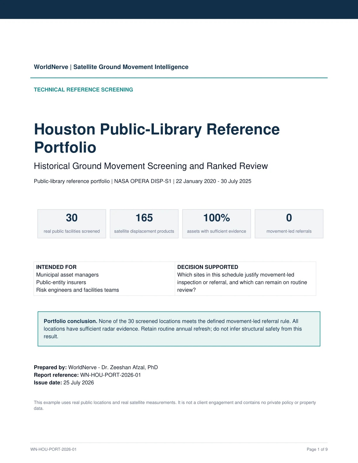
Portfolio Screening Report

For multiple locations — dozens to thousands.

Ideal for: Insurers, reinsurers, asset managers, REITs, lenders, and utilities with distributed holdings.

Inputs required: Location list (CSV/XLSX), asset types, screening criteria and period.

Typical analysis: Batch screening of every location against processed radar data, consistent indicators per asset, ranking against local context.

Turnaround: Typical turnaround confirmed after data review.

Typical deliverables

  • Ranked asset review list
  • Per-asset movement indicators
  • Regional summary maps
  • Exportable tables (CSV/XLSX/GIS)
  • Methodology and confidence documentation
  • Follow-up recommendations
Request Portfolio Screening

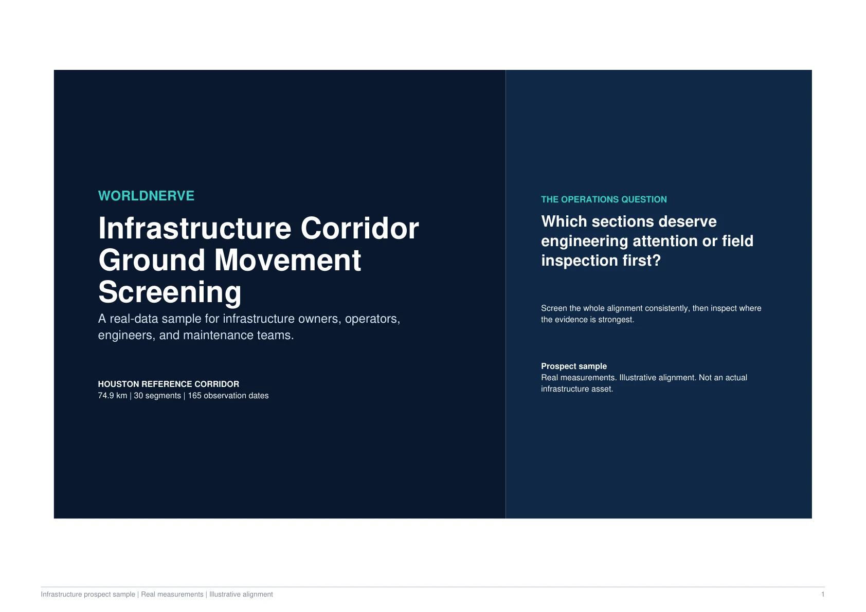
Infrastructure Corridor Assessment

For linear or distributed infrastructure.

Ideal for: Rail, road, pipeline, and utility operators; port, airport, and dam owners; their engineering consultants.

Inputs required: Alignment or network GIS files (or route description), buffer width, priority structures.

Typical analysis: Corridor-shaped multi-temporal InSAR, per-segment statistics, ranked sections, and time series for flagged locations.

Turnaround: Typical turnaround confirmed after data review.

Typical deliverables

  • Per-segment movement ranking
  • Corridor velocity maps
  • Flagged-section time series
  • GIS deliverables for asset systems
  • Inspection prioritisation notes
Screen a Corridor

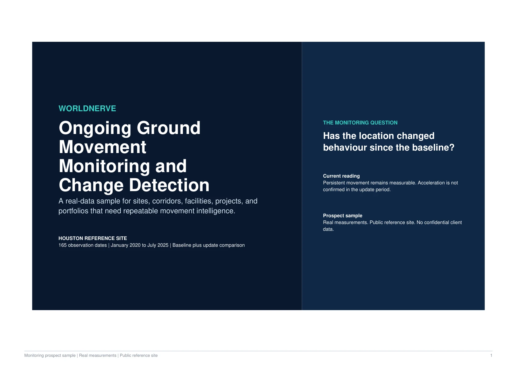
Ongoing Monitoring Report

Periodic updates as new satellite data arrives.

Ideal for: Operators and insurers of assets with known movement, nearby construction, or reporting obligations.

Inputs required: Baseline assessment (any of the above), update frequency, alert thresholds.

Typical analysis: Scheduled reprocessing with each update cycle; change detection against baseline and thresholds; evolving interpretation.

Turnaround: Typical turnaround confirmed after data review.

Typical deliverables

  • Periodic deformation updates
  • Change alerts against thresholds
  • Updated time series and maps
  • New movement identification
  • Stakeholder-ready summaries
Design a Monitoring Programme

Pricing

Scoped to the data, not a rate card

Every quotation follows a data availability review, so you only pay for analysis that the satellite record can actually support.

Single-site assessments

Quoted after a data availability review of the specific site.

Portfolio screening

Based on number of assets, geography, and required outputs.

Ongoing monitoring

Customised according to acquisition frequency and coverage.

Enterprise projects

Contact us for scope and pricing.

Pricing depends on:

  • Number of locations
  • Area size
  • Available satellite data
  • Historical period required
  • Required precision
  • Commercial data needs
  • Reporting depth
  • Monitoring frequency
  • Need for validation or external datasets

Start a conversation

Unsure which report fits?

Describe the asset and the question — we will recommend the right starting point, usually the preliminary data review.