Skip to content
WorldNerve
All Sample Reports

Property · Interactive Sample

Commercial Property Due Diligence

A single-site example showing neighbourhood context, movement history, a routine comparator, and a proportionate transaction response.

Built for investors, lenders, developers, asset managers, and transaction teams.

8 pages · PDF · 1.0 MBReal measurements · Public reference site
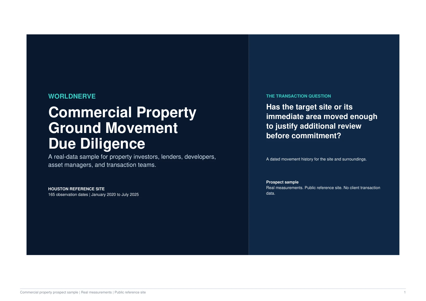
Cover of the WorldNerve Commercial Property Ground Movement Due Diligence sample
Full evidence pack available as a PDF download

Decision Question

Does the available satellite record justify additional specialist review before a commercial-property decision?

Sample Finding

The sample site shows a measurable line-of-sight movement trend that justifies proportionate specialist review.

The result adds a dated movement evidence layer to due diligence. It does not diagnose the building or determine the cause of movement.

-19.7
mm/Year LOS Trend

Sample site CP-001

165
Observation Dates

January 2020 to July 2025

80%
Reliable Support

Within the assessed evidence

0.99
Trend Fit

Screening-level R²

Interactive Evidence View

Site Evidence Profile

The web view surfaces the headline measurement, archive depth, and support together so the rate is never read without context.

Measured LOS Trend-19.7 mm/yearLine-of-sight measurement. Read with the evidence conditions and limitations.
Reliable Support80%

165 observation dates

January 2020 – July 2025

This code-native view highlights selected report findings. Download the PDF for the complete maps, time series, methodology, confidence notes, and evidence tables.

Inside the Report

Follow the Evidence From Question to Action

The online experience explains the decision logic in a scannable format. The downloadable report preserves the full technical evidence record.

01

Site and Neighbourhood Context

The report places the property within its surrounding measurement field, allowing the reader to compare the site with nearby conditions instead of treating one value in isolation.

  • The site footprint and surrounding reference area are shown together.
  • Local contrast helps distinguish site-level and wider-area patterns.
  • A routine comparator demonstrates the reporting threshold.
02

Movement History

The time series shows when the measured pattern developed, how consistently it appears across the archive, and how much reliable support underpins the interpretation.

  • The full observation period remains visible.
  • Trend fit and support accompany the headline rate.
  • Line-of-sight geometry is stated as part of the result.
03

A Proportionate Transaction Response

The report recommends further specialist review because the evidence is material to the transaction question, while keeping the final property judgement with the responsible professionals.

  • Use the evidence to focus technical questions.
  • Compare against surveys, inspections, and site history.
  • Avoid treating satellite movement as a structural diagnosis.

Responsible Interpretation

What This Evidence Does Not Decide

The report is designed to make its boundaries as visible as its findings.

  • The measured rate is line-of-sight displacement, not a direct structural measurement.
  • The analysis does not determine structural condition, safety, or defect severity.
  • The definitive cause of movement requires additional evidence.
  • Transaction decisions remain with the buyer, lender, investor, and appointed advisers.

Next Steps

Turn the Finding Into a Proportionate Workflow

  1. 1

    Share the result with the transaction's structural or geotechnical adviser.

  2. 2

    Compare the movement history with surveys, repairs, drainage, and site records.

  3. 3

    Define focused field investigation if the wider evidence supports it.

Start a conversation

See What the Satellite Archive Can Support for Your Location

Start with an address, coordinate, boundary, corridor, or location list. WorldNerve will review feasibility before proposing a larger scope.